By insideSail
Automated technical check · version 1 ·
Latitude and longitude: two coordinates, one format
Understand degrees, minutes and hemispheres before reading a position.
In this guide
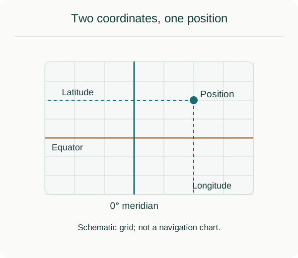
Original schematic illustration. Read the explanation and limitations in the lesson.
insideSailOriginal insideSail artwork — all rights reservedEnlarge the diagram
On a schematic globe, parallels help identify latitude and meridians identify longitude. The grid is not a network of equal-sided squares. The illustration explains the references; it is not a way to measure a voyage.
The decimal point is not decoration
A degree divides into 60 minutes of arc, and a minute into 60 seconds of arc. These are not minutes of time. You may see decimal degrees, degrees with decimal minutes or degrees/minutes/seconds. N and S identify latitude hemispheres; E and W identify longitude hemispheres.
Coordinates have a reference too
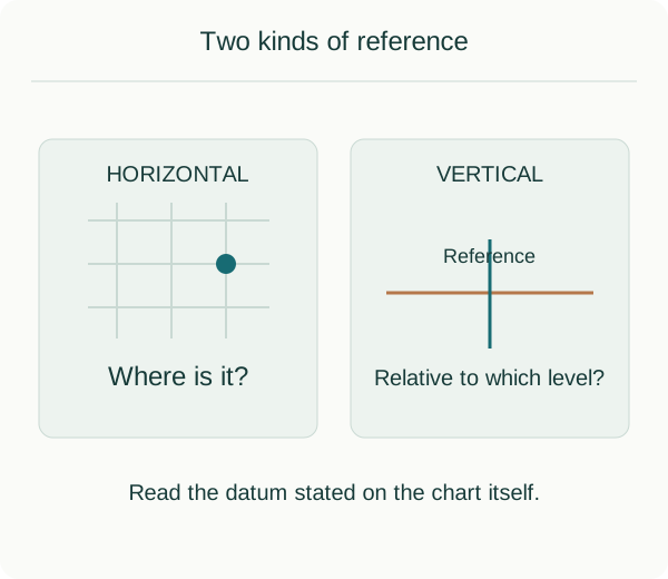
Original schematic illustration. Read the explanation and limitations in the lesson.
insideSailOriginal insideSail artwork — all rights reservedEnlarge the diagram
A horizontal reference frames positions; a vertical reference frames heights or depths. They are not the same field. When recording data, retain known format, units and reference. Adding decimal places does not create precision the source never had.
Concepts in this lesson
Latitude
An angular coordinate north or south of the equator.
Longitude
An angular coordinate east or west of the reference meridian.
Sources and references
- Cartografia — cartas náuticas ↗
Instituto Hidrográfico · Live institutional page · Chart information and vertical reference
Version: Live institutional page. Jurisdiction: Portugal.
Checked on - What is latitude? ↗
NOAA National Ocean Service · Parallels, equator, degrees, minutes and seconds
Version: Institutional page. Jurisdiction: International.
Checked on - Magnetic declination calculator — coordinate input help ↗
NOAA NCEI · Coordinate formats; 60 minutes per degree; hemisphere notation
Version: Institutional page. Jurisdiction: International.
Checked on
Discuss this concept
Loading the conversation…