By insideSail
Automated technical check · version 2 ·
From sensor to chart display
Data, transport, processing and display are different layers.
In this guide
Electronic navigation combines sources. A receiver estimates position; a sensor may supply heading; a chart database describes geographical features; software relates this information and displays it.
The screen is the last visible layer, not the origin of every datum. Understanding the chain distinguishes a reading, calculation and graphical option even when all appear on one page.
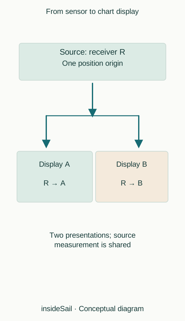
Teaching schematic not to scale; without local data or operational approval.
insideSailOriginal insideSail artwork — all rights reservedEnlarge the diagram
Images and objects are different formats
Raster representation organises information as an image. Vector representation organises features as objects with geometry and attributes.
A vector system may change presentation and interrogate feature properties, whereas raster enlargement may simply enlarge pixels. The distinction explains display capabilities without automatically establishing currency, official status or suitability.
An ENC is an official chart product with its own requirements, not a generic name for any vector map.
ECDIS denotes a system with specific performance requirements and regulatory context. A leisure chartplotter or application does not become ECDIS simply by displaying a chart and position.
This lesson explains system names without applying commercial-ship requirements to every sailboat. Installation validity depends on equipment, data, software and rules applicable to the actual vessel.
Information also has age. A position received now may contain an earlier timestamp; a chart opened today may belong to an old edition.
Derived calculations inherit dependencies: distance to a waypoint comes from position, waypoint identity and the geometry used. More decimal places correct none of those origins.
The next lesson separates what the main sensors measure or receive.
A vector attribute can store depth, nature or identity and be displayed in several forms. Hiding its label does not remove the attribute; conversely, a map without that attribute does not create it by enabling a graphic option.
This connects presentation selection and content. Layer origin matters too: chart data, aerial photography and community information can align visually without sharing quality or purpose.
Device communication transports fields with identifiers and units rather than complete human meaning. A received value may be converted or used in calculation.
A derived true-wind indication, for example, may depend on apparent wind and motion under a selected reference. This diagram shows general dependency without prescribing network configuration or validating a particular equipment combination.
- A display combines different origins.
- Raster, vector and ENC are not synonyms.
- Two displays can share the same source error.
The concept in a few words
Sources and references
- Cartografia náutica ↗
Instituto Hidrográfico · Description of chart content and paper, ENC and IENC formats.
Portuguese hydrographic context, not an asserted legal requirement for every leisure vessel.
Checked on - Boat Crew Handbook — Navigation and Piloting, BCH16114.3 ↗
United States Coast Guard · Chapter 3 C.1–C.2 pp.3-28–3-29; C.6–C.9 pp.3-35–3-49; G.2 pp.3-130–3-131.
Physical sensor/display relationships only. Historical accuracy, legal carriage and operational claims excluded.
Checked on - Facts About Electronic Charts and Carriage Requirements — S-66 ↗
International Hydrographic Organization · Edition 2.0.0, October 2024; §§1.4, 2.2–2.5, 2.11–2.13; section 6 on safe use and section 7 on depth accuracy.
Format/system distinctions only. ECDIS and leisure chartplotters are not presented as legally equivalent. No protected prose or figures reproduced.
Checked on
Keep discovering
The next piece of the puzzle
Discuss this concept
Loading the conversation…