By insideSail
Automated technical check · version 2 ·
Marine weather: space, time and evidence
An observation, forecast and warning are different kinds of information.
In this guide
Meteorology describes and predicts atmospheric state; oceanography studies sea processes. Sailing brings air and water together: local wind, swell arriving from afar, current and water level can have different origins and time scales.
Sea state is not an instantaneous copy of the wind felt aboard. This manual separates those components before explaining their relationships.
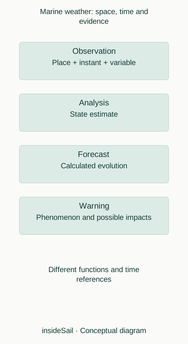
Conceptual schematic not to scale; no local forecast or operational decision.
insideSailOriginal insideSail artwork — all rights reservedEnlarge the diagram
What was measured and what was calculated
An observation refers to a location and instant. It can come from a station, buoy, satellite, radar or another system, each with its geometry and limitations.
An analysis combines observations with a model to estimate atmospheric state. A forecast advances that state through an evolution calculation.
A warning communicates a phenomenon and potential impacts under its own criteria and responsibility. None of these words is an automatic certainty grade.
Spatial scale changes the question. A broad pressure map helps explain systems; a coastal-area forecast organises conditions in that area; an observation beside a cliff describes local circumstances.
Terrain, coastline and surface can modify flow. The difference between a point and a region is therefore not resolved merely by enlarging the screen map.
Variables need names too. Mean wind and gust are not the same quantity; significant height is not the largest wave; current is water movement rather than tidal height.
Subsequent lessons develop these distinctions without inventing acceptable-condition thresholds for a boat. Physics and conceptual reading build the foundation; voyage decisions also need practical context.
A product can summarise a variable over an interval. “Forecast maximum between 12:00 and 18:00” is neither a constant six-hour value nor a point forecast for 18:00.
A regional average does not represent every location either. Time language belongs to the quantity: maximum, mean, instantaneous and accumulated describe different operations.
Comparisons need to reflect changed intervals.
Direction has convention too. Westerly wind comes from west; a westward current moves water west.
Wave direction may be reported as propagation origin in one source and shown with arrows in another. The legend must state meaning.
Here physical arrows show movement TO, while meteorological names state FROM. Naming the variable beside an arrow avoids applying wind convention to water.
- State variable, place and time.
- Observation, analysis, forecast and warning have distinct functions.
- Local wind and existing sea can have different histories.
Sources and references
- Estado do mar nas praias ↗
IPMA · Wave parameters and model-grid point explanation.
No current numerical forecast or model-resolution recommendation imported.
Checked on - Types of observations ↗
Met Office · Surface, upper-air, radar and satellite observation families.
Original teaching synthesis; no observation network counts or protected images.
Checked on
Keep discovering
The next piece of the puzzle
Discuss this concept
Loading the conversation…