By insideSail
Automated technical check · version 2 ·
Navigation: position, direction and time
Three different questions organise a useful description of movement.
In this guide
Navigation relates a boat to space and time. Position answers “where?”, direction answers “which way?”
and time answers “when?”. These fields are not interchangeable.
A point on a map does not explain the track that led there; an arrow does not give distance travelled; a clock time without a time zone can identify different instants. Beginning with these distinctions makes charts, instruments and subsequent explanations easier to understand.
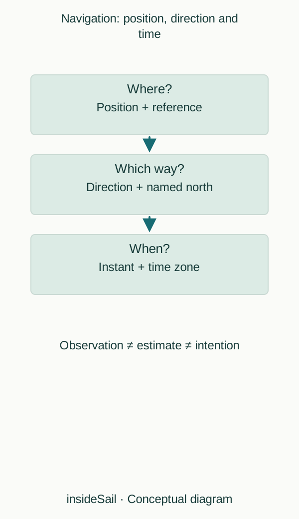
Teaching schematic not to scale; without local data or operational approval.
insideSailOriginal insideSail artwork — all rights reservedEnlarge the diagram
References before numbers
A geographical position uses coordinates and a reference system. A direction may be measured from true, magnetic or compass north.
Speed may be relative to water or to the ground. The number remains incomplete until these references are identified.
In ordinary conversation, “the boat is going east” might describe bow orientation or movement on the map; in a sideways current, these two things need not agree.
Observation must also be distinguished from estimation. A position reading is an observation produced by a system, with possible errors.
A point calculated from speed and time is an estimate based on assumptions. A plotted future position is an intention rather than an observation of the future.
A record becomes useful when information type accompanies the value, instead of drawing every point as though it had the same origin.
This manual gives coordinates, north references and units their own lessons. Examples on abstract grids teach mathematical relationships rather than representing an actual coast.
When a lesson moves from those relationships into planning or pilotage, its scope changes: depths, obstructions, updated information, conditions and competent assessment enter the problem. Recognising that transition is an essential part of learning navigation, not just a note after a calculation.
Think of a movement record as a complete sentence. “At 10:15 UTC, observed position P; heading 090° true; ground movement 070° at 4.5 knots” contains four relationships.
The 070° direction does not contradict 090° heading: one describes displacement, the other orientation. Writing only “090°, 4.5” loses quantity identity.
Careful language allows information from people and instruments to be compared without assuming identical conventions.
Distance, duration and speed are linked dimensionally. Nautical miles divided by hours give knots; knots multiplied by hours give nautical miles.
Fifteen minutes is 0.25 hours, not 0.15. In a constant 6-knot model, fifteen minutes produces 1.5 nautical miles.
The calculation clarifies units, while direction supplies displacement orientation. Combining these parts gives a vector, the language used later to connect boat, water and ground.
- State position, direction and time separately.
- Name the reference for every value.
- Separate observation, estimate and intention.
Sources and references
- Boat Crew Handbook — Navigation and Piloting, BCH16114.3 ↗
United States Coast Guard · Chapter 3 A.1–A.5, printed pp.3-2–3-7; B.4–B.6 pp.3-13–3-24; E.8 pp.3-88–3-93.
Selected geometrical concepts only. US procedures, numerical equipment claims and protected artwork excluded.
Checked on
Keep discovering
The next piece of the puzzle
Discuss this concept
Loading the conversation…